JF Ptak Science Books
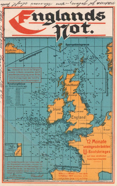
This is a pretty stark reminder of just what was going on in the waters around Great Britain in 1917--it is a postcard propaganda map showing the gross tonnage of ships sunk by U-Boats for 1917:
[Image source: P.J. Mode's wonderful collection of what he refers to as "Persuasive Maps", now housed at Cornell University.]
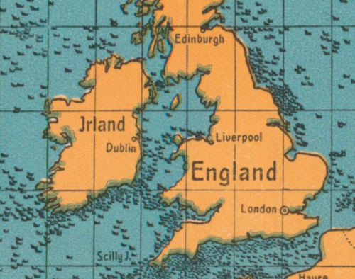
This map is actually a detail from:
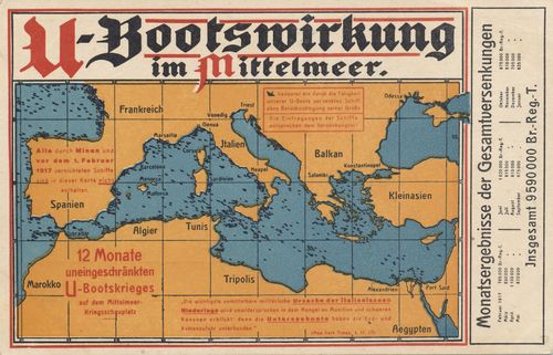
There's a continuation of this cartological propaganda thread in this postcard map, showing the developments in the Mediterranean:
[Source: WWI Today, http://wwitoday.com/wwiScTopicDetail.php?id=13]
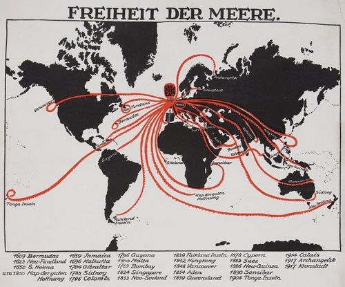
This could be seen as a response to visualizations like the following, depicting BRitish strangelholds and dominance on the global naval sphere--of course, the Brits did have the superior navy in the world at the time, and there was a blockade, but (at least for WWI) there was no intention of world domination:
[Image source: Atlas Obscura, http://www.atlasobscura.com/articles/uboats-and-octopuses-collide-in-these-wwi-propaganda-maps]
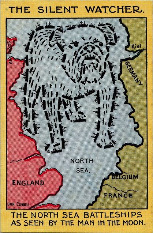
And one way the situation was seen by Great Britain:
[Source: Atlas Obscura, http://www.atlasobscura.com/articles/uboats-and-octopuses-collide-in-these-wwi-propaganda-maps.]


Comments