JF Ptak Science Books
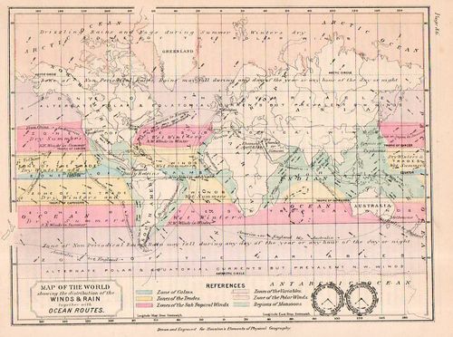
- "A world map from 1891 showing the distribution of the winds and rain, together with ocean routes", by Edwin J. Houston, and published in The Elements of Physical Geography (Philadelphia, PA: Eldredge & Brother, 1886). 7x9" Hand-colored lithograph. $95
Out-of-context this map depicts the delightfully- and disturbingly-named Equatorial Calms and Doldrums, Calm of Cancer, Calm of Capricorn, Zones of the Trades, Zones of the Variables (!), Zones of the Polar Winds, and Monsoon Regions.
Really though this small (7" x 9") map is impressive for showing so very much big information in a small place: in addition to the poetic calms and doldrums, it shows areas of drizzle and fog, areas that have snow in spring and autumn, and the periodicity of rain.
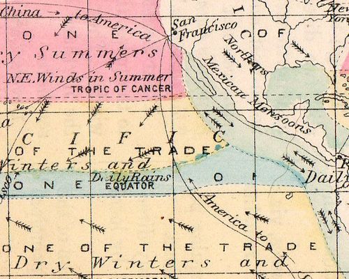
It naturally shows trade routes (so dependent upon the winds) and then goes on to display prevailing winds and then to name some of the the important ones, including the Northers (central North America), Simoon (Arabian Peninsula), Sirocco (Mediterranean), Solano (Spain), Chamsin (Egypt), and Harmattan (West Africa).


Comments